
Aerial Imaging for Northeast Florida
FAA-Certified Commercial Drone Operations · Insured · Serving Clay, Duval, St. Johns, and nearby
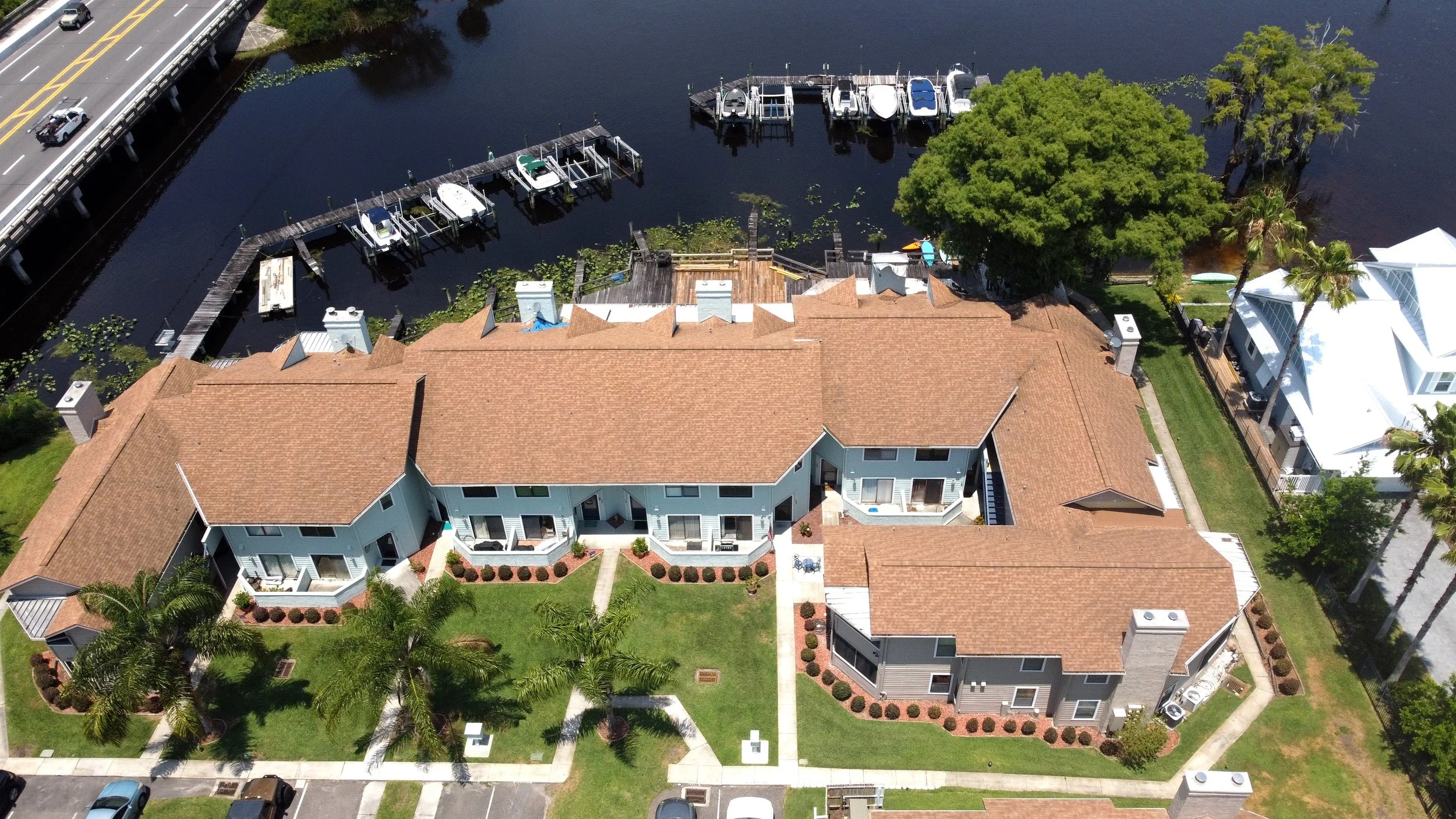
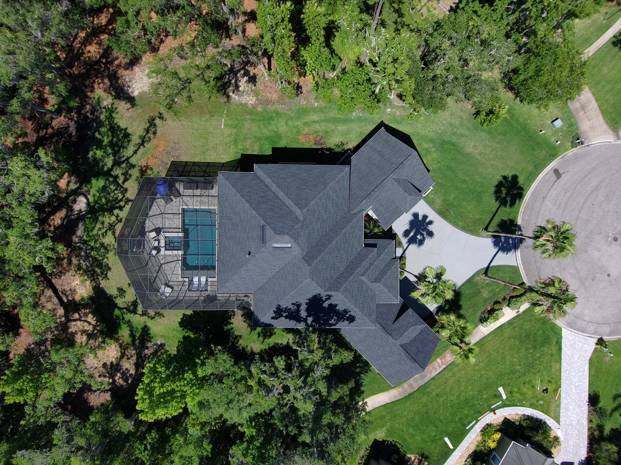
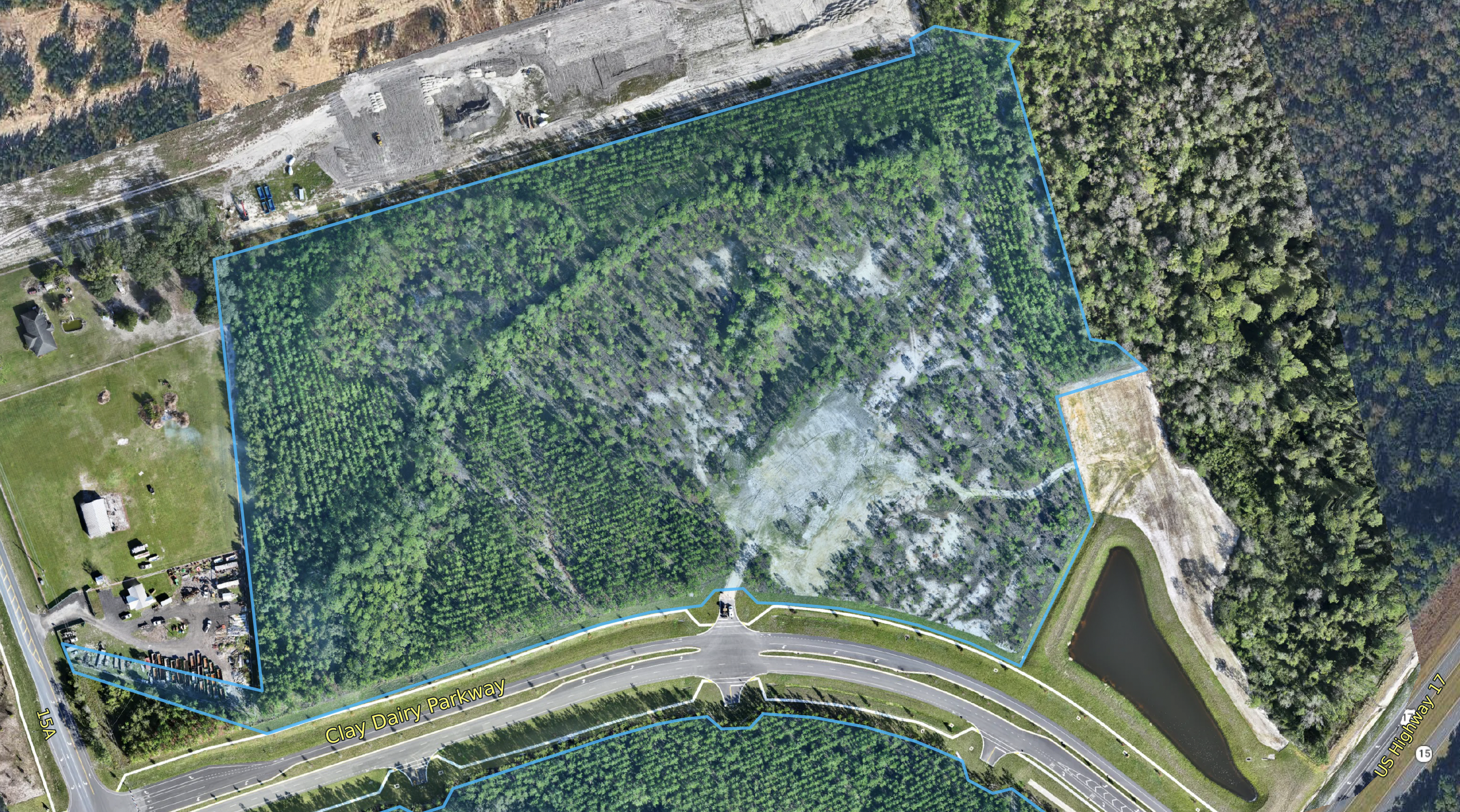
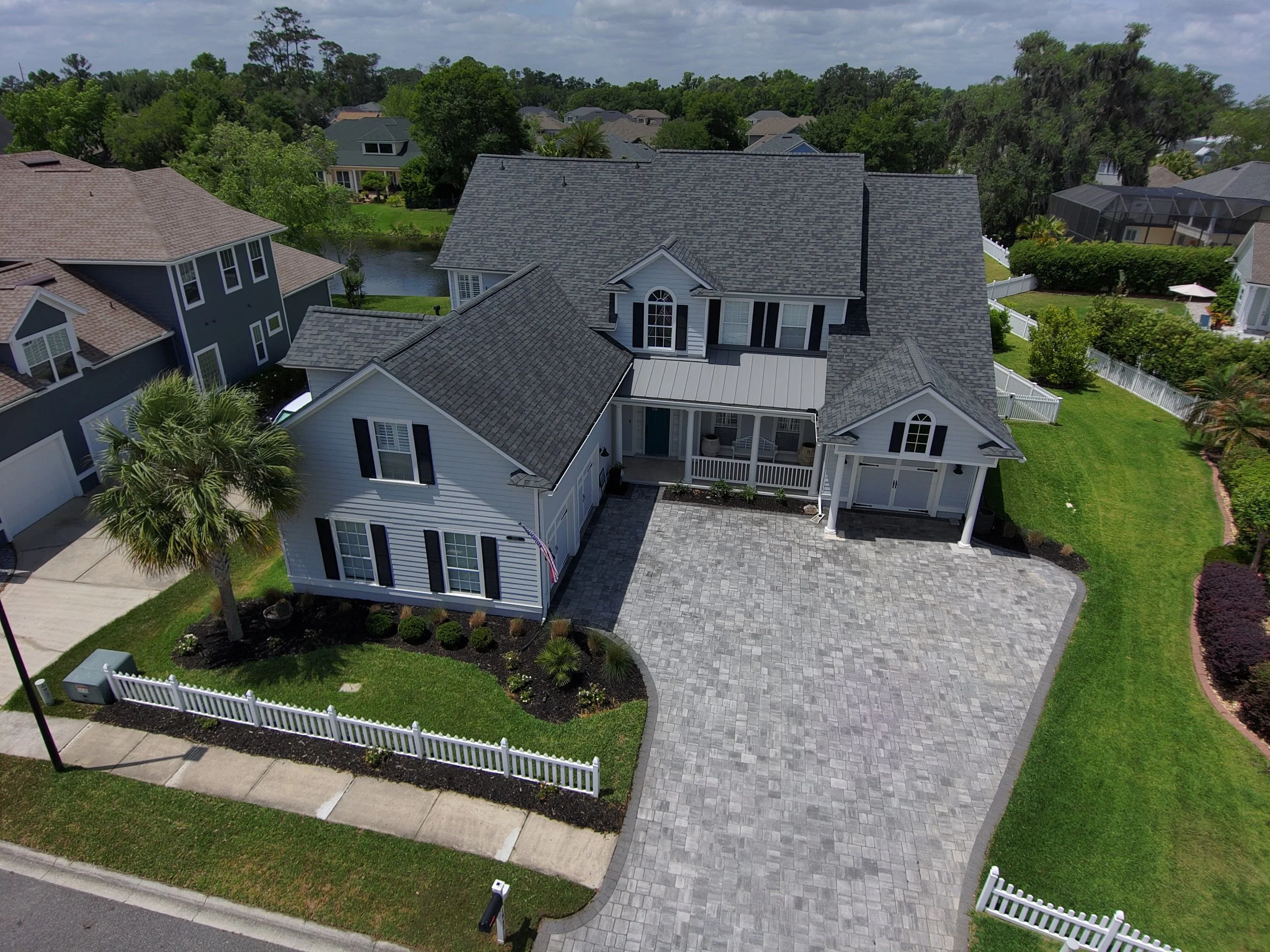
30+ years of Aviation Experience. FAA Certified and Insured.
Locally based in Fleming Island, FL. FAA Part 107 certified and commercially insured, delivering clear, MLS-ready aerial photos and video for realtors and property pros. From white gloves to hardhats, we’ve got you covered.
About Altitude Aerial Imaging
Altitude Aerial Imaging is a drone photography and video company based in Fleming Island, Florida, serving Jacksonville, Clay County, and Northeast Florida. Flights are flown by an FAA-licensed commercial drone pilot and insured.
Services:
Homeowner roof, gutter, chimney, and exterior inspections without ladders
Real estate listing photos and video
Construction progress and commercial site documentation
Wedding and special event aerial photography
Contact: (904) 602-6630 or dale@altitude-aerial-imaging.com
Request a quote
Fill out form with all required information
OR
Email dale@altitude-aerial-imaging.com with the property address, preferred date, and general description of the services requested.
Important Notes
Address for service must be included as there are some locations near airports that may be denied flight clearance.
Florida law (§ 934.50) bans drone imaging used to surveil private property or people with a reasonable expectation of privacy without written consent. Our work is limited to consented aerial documentation. We don’t fly to spy.