
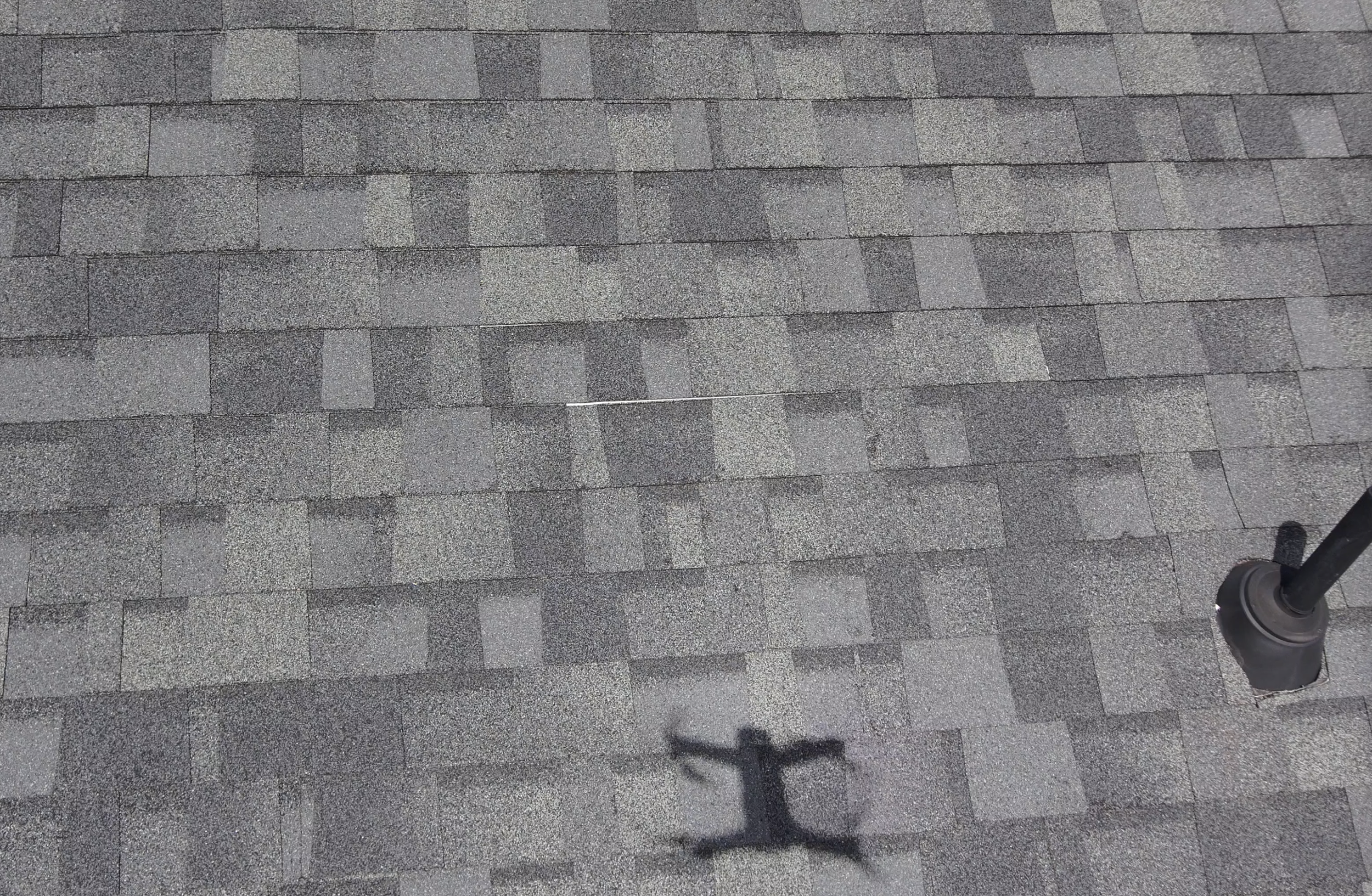
Commercial Drone Imaging for Northeast Florida
Construction & Commercial Orthomosaic Maps and Aerial Documentation
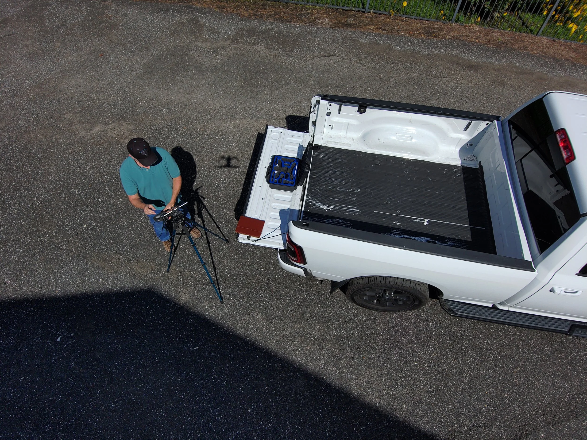
Prompt, professional, and dependable service. Clear, consistent aerial imagery for builders, project managers, property owners, and commercial real estate teams. Locally based in Fleming Island, FL, FAA Part 107 certified and commercially insured, serving the Jacksonville area including Clay, Duval, St. Johns, and nearby.
Construction progress
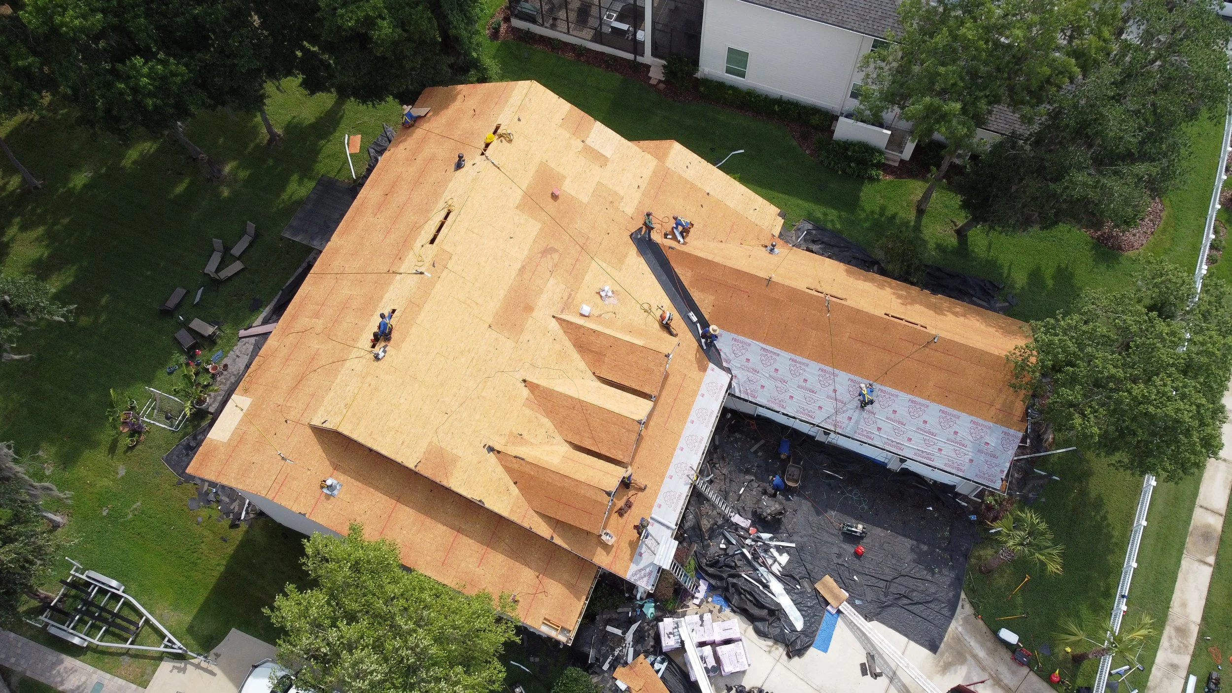
Scheduled flights from the same vantage points so you can track site work over time: weekly, monthly, or at key milestones. Useful for owner and lender updates, stakeholder reports, and project records.
Commercial properties
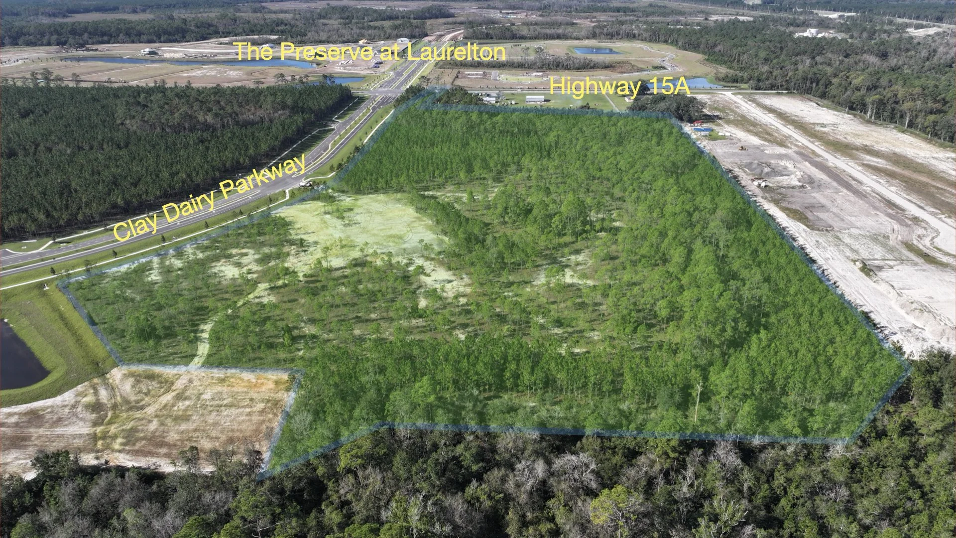
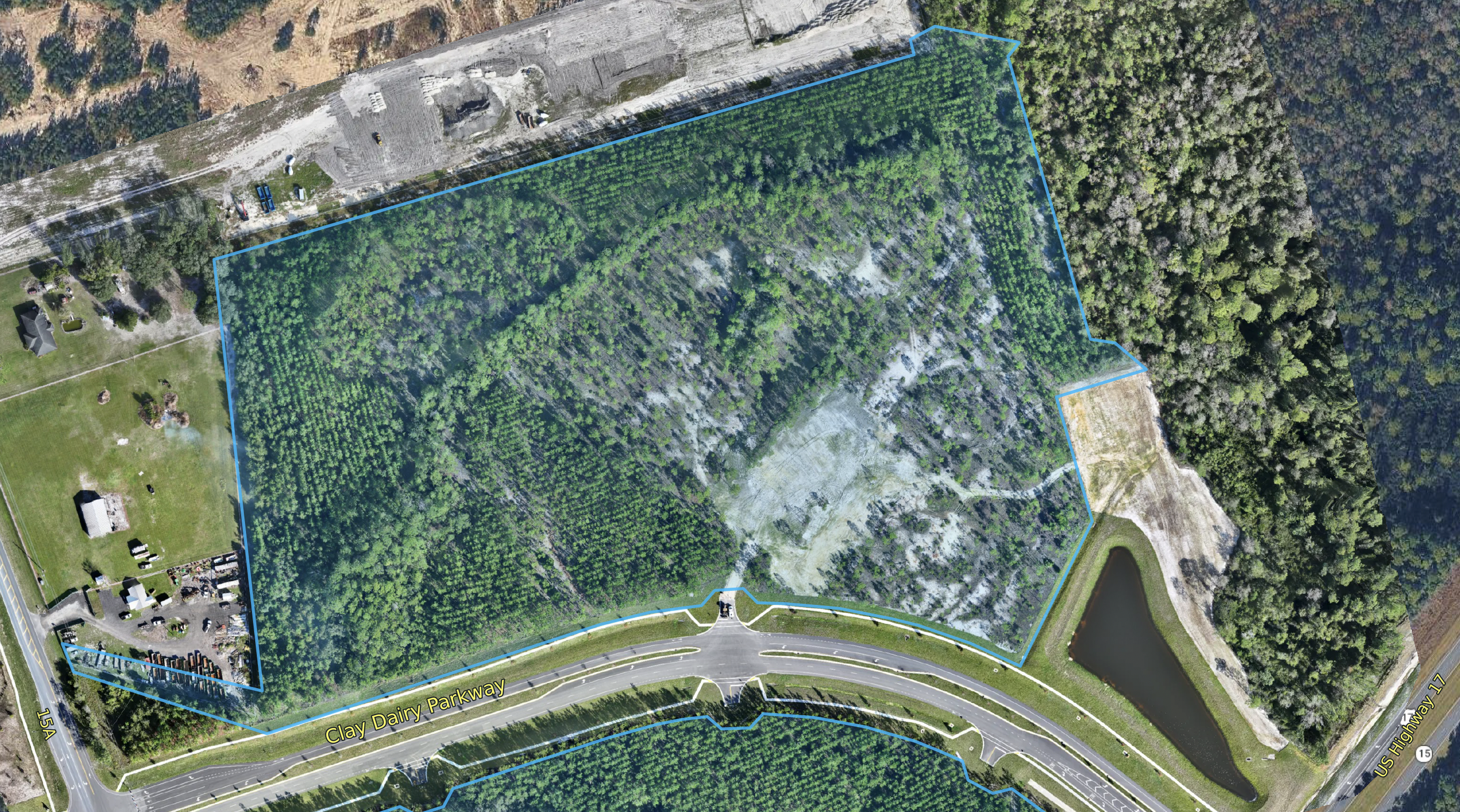
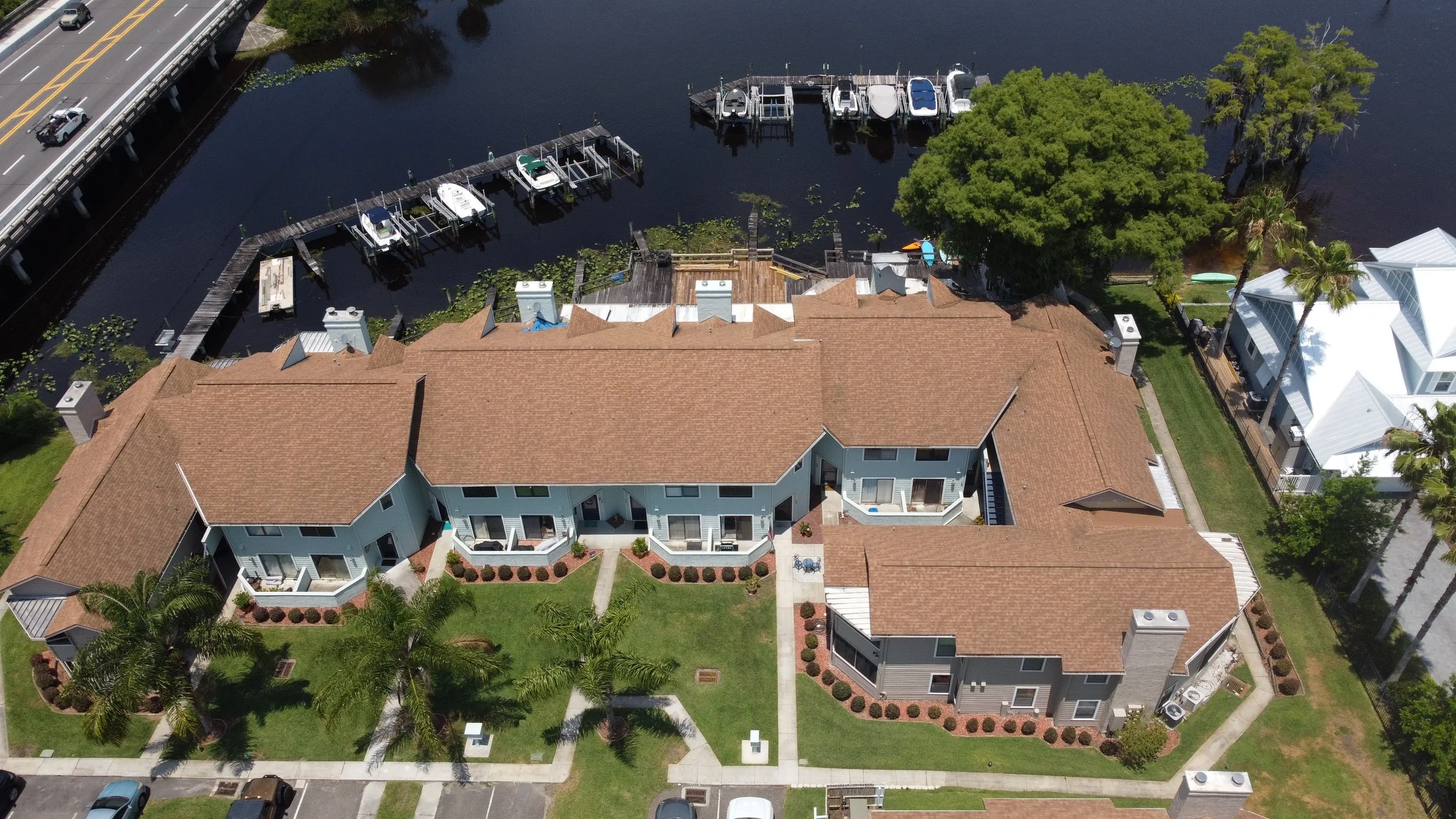
Aerial stills and video of retail centers, office and industrial buildings, and land parcels for leasing, marketing, and asset documentation. Orthomosaic maps depicting property lines, planned construction, and recent construction.
Permitting Documentation
Drone imagery helps document what county and municipal reviewers need to see — building and site permits, progress toward inspections, setbacks and staging, drainage and stormwater work, and compliance with local ordinances on large or hard-to-access jobsites.
Getting started
What you get: Edited, high-resolution aerial photos and video documenting site conditions as captured. This is visual documentation only. It is not a formal engineering, survey, or licensed inspection.
Use the Request a quote form below, or email dale@altitude-aerial-imaging.com with the site address, preferred date or schedule, and a general description of what you need documented.
Request a quote
Fill out form with all required information
OR
Email dale@altitude-aerial-imaging.com with the property address, preferred date, and general description of the services requested.
Important Notes
Address for service must be included as there are some locations near airports that may be denied flight clearance.
Florida law (§ 934.50) bans drone imaging used to surveil private property or people with a reasonable expectation of privacy without written consent. Our work is limited to consented aerial documentation. We don’t fly to spy.